|

CSR Receiving Station
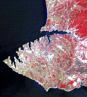
-AVHRR -SeaWiFS Multispectral and Hyperspectral +Kennedy Space Center +Rio Grande Valley +Great Victoria Desert -Chora of Chersonesos -Area Description +Excavation Sites -RS Data -IRS -CORONA -LANDSAT -SIR-C/X-SAR -ERS Synthetic Aperture Radar (SAR) Multisensor Fusion LIDAR INSAR |
|