
|
Multispectral and Hyperspectral Research
|
Multispectral data acquired in space and by
airborne sensors have been
utilized extensively at CSR
for the past 15 years in
research projects dealing
with such diverse problems
as land cover and
topographic mapping,
physical and biological
oceanography, and
archeology.
Recently, this
research has expanded to
include analysis of
hyperspectral data acquired
simultaneously in tens to
hundreds of narrow channels.
New algorithms have
been developed both to
exploit the spectral
information of these sensors
and to better deal with the
computational demands of
these enormous data sets. |
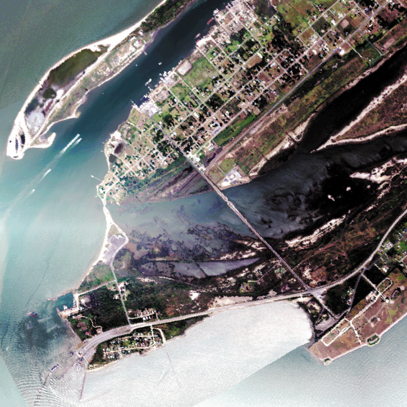
Hyperspectral (HYMAP) data over Port Bolivar, Texas collected September 1999.
|
Site Projects
Kennedy Space Center, Florida
- Land cover mapping from multispectral and hyperspectral sensors
Rio Grande Valley, Texas
- Riparian habitat mapping from multispectral and hyperspectral sensors
- Studies of marsh vegetation on the Rio Grande Delta using hyperspectral
sensors
Great Victoria Desert, Australia
- Multitemporal mapping of fires and vegetation cover for biodiversity
studies
Chora of Chersonesos (Sevastopol), Ukraine
- Mapping ancient features of the Greek colony of Chersonesos
- Land use, land cover change from remotely sensed data
|
|
|
