|
|
 |

|
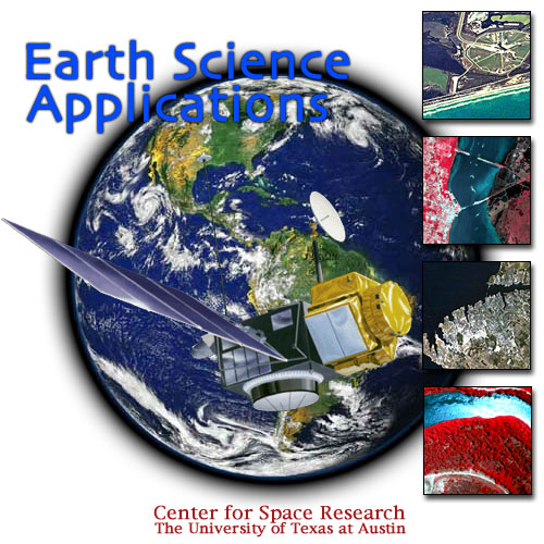
Research in remote sensing at CSR is an integrated effort involving applications of
sensors to environmental problems and development of algorithms for extracting
information from remotely sensed data acquired by space based
and airborne platforms. Research is often conducted as collaborative
projects involving multidisciplinary teams from engineering, biological and
geological sciences, geography, computer science, and even classical archeology.
The program has funded research in development of methods for topographic
mapping from SAR interferometry and laser altimetry, multisensor fusion,
and multiresolution methods for image segmentation and classification,
with an emphasis on mapping of coastal environments.
|
|
|
|
