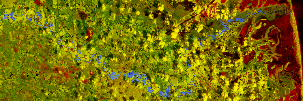
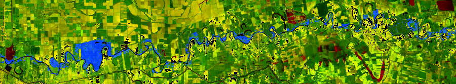
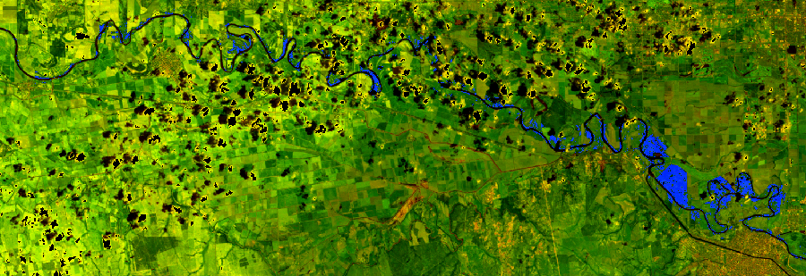
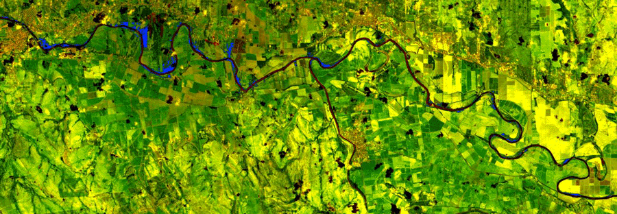
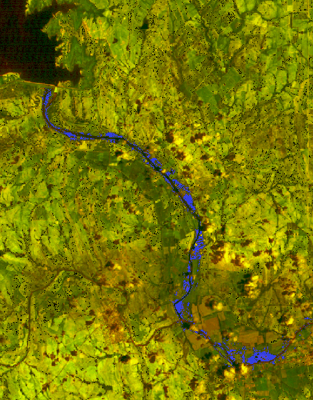
| 1996 Riparian Classification Results Land adjacent to a stream of river is often called a riparian zone. Riparian ecosystems are among the nation's highly threatened natural resources, especially along the Rio Grande. Over the past 100 years, the amount of riparian vegetation has been drastically reduced due to the creation of dams and new agricultural lands. The Riparian zone of the Lower Rio Grande Valley was classified using Landsat TM imagery acquired in 1996. The classification results indicate for a 240km (149 miles) stretch of river (Falcon Dam to the Gulf of Mexico), only 17,484 acres of riparian vegetation in 1996. The breakdown of various sections of the river are listed below. The riparian vegetation is depicted as blue.
 Last Modified: Wed Apr 14, 1999
CSR/TSGC Team Web
| | | |