Finke River: Research Objectives
 The region has a range of relief corresponding to the mountain ranges, the syncline and beveled anticline structures, broad paleomeanders, alluvial plains, and entrenched canyons of the modern Finke Gorge. Two scales of information are required for this study: the overall regional topography and the higher spatial resolution elevation information for the riverbed of the modern Finke. The regional topography includes both the mountain ranges and the low relief plains. The existing DEM is particularly inadequate for characterizing the rolling plains for hydrologic studies. Space based interferometry, which is ideal for the low relief areas, will be employed to map regional level topography using three pairs of ERS SAR images.
The terrain of the steep, narrow canyons of both the MacDonnell ranges and the Finke Gorge, coupled with the low incidence angle and spatial resolution of ERS SAR imagery, is difficult to obtain from ERS-based interferometry. Airborne TOPSAR will be employed to improve the topographic information in areas of its coverage. Otherwise, topography will be based on the existing DEM information derived from stereo aerial photography. Development of the capability for appropriately merging of the existing DEM, the ERS derived DEM, and the TOPSAR-based DEM's is one objective of the proposed study.
Topographic features often exhibit great spatial variability over a region and can thereby be represented efficiently on variable resolution grids. Repeat pass INSAR from space-based sensors has relatively coarse spatial resolution but broad coverage and can be used effectively to develop regional digital elevation models (DEM's), while airborne TOPSAR provides superior spatial and vertical resolution but limited coverage. This study investigates the application of the Distributed Adaptive Grid Hierarchy (DAGH) data structure for developing an integrated, interferometry based DEM of the regional landscape of the Finke River in the Northern Territory of Australia using ERS and TOPSAR data.
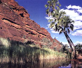
Area Description
Remotely Sensed Data
Results
|

Last Modified: Wed Apr 14, 1999
CSR/TSGC Team Web
|

