
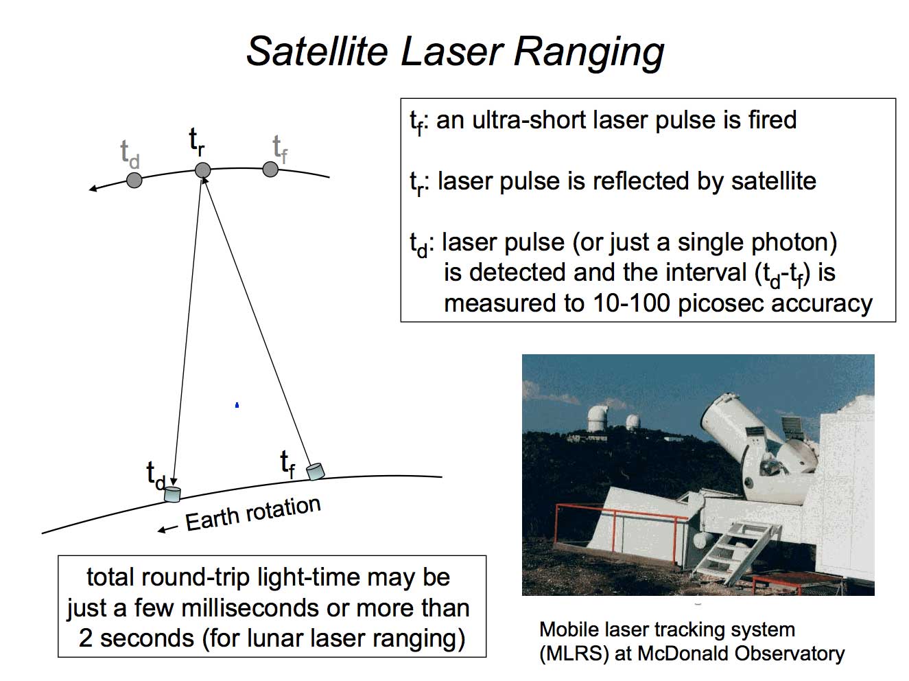
Satellite laser ranging (SLR) involves sending a burst of photons from an ultra-short laser pulse onto a target with retroreflectors (in orbit or on the Moon) and measuring how long it takes to get a return. Multiply that by the speed of light and you have the two-way range. Simple in concept; difficult to do in practice since measuring the time interval between two events (fire and return) to a few tens of picoseconds accurately is still technologically challenging. The strength of laser ranging is that it is an unambiguous measurement of the range; other techniques must estimate biases or ambiguities. Another strength of laser ranging is that it is relatively immune to the presence of water vapor in the atmosphere, and so the refraction model is relatively simple (using ground-based meteorological data) and no corrections need to be estimated as part of the data reduction. An obvious limitation, however, is that it requires relatively clear skies, so SLR stations need to be located in areas where the weather is more benign. The resulting measurements are, for the better stations, accurate to the few mm level, supporting cm-level orbit determination. SLR stations can range to satellites in the range of 300 km to 22,000 km, though the higher targets are beyond the capability of some stations, and only a small number of stations can range to the Moon.
The system at MGO will be part of NASA’s global network of laser ranging stations to be developed as the Space Geodesy Satellite Laser Ranging System (SGSLR), which is in turn part of a international network of stations.
SGSLR Instrument Capabilities:
- Laser ranging from 300-km to geosynchronous (26,000 km) altitudes
- Day-Night tracking – 532 nm (green) laser
- Single photon detection system with high repetition rate
- Millimeter precision ranging
- Remote operation capable
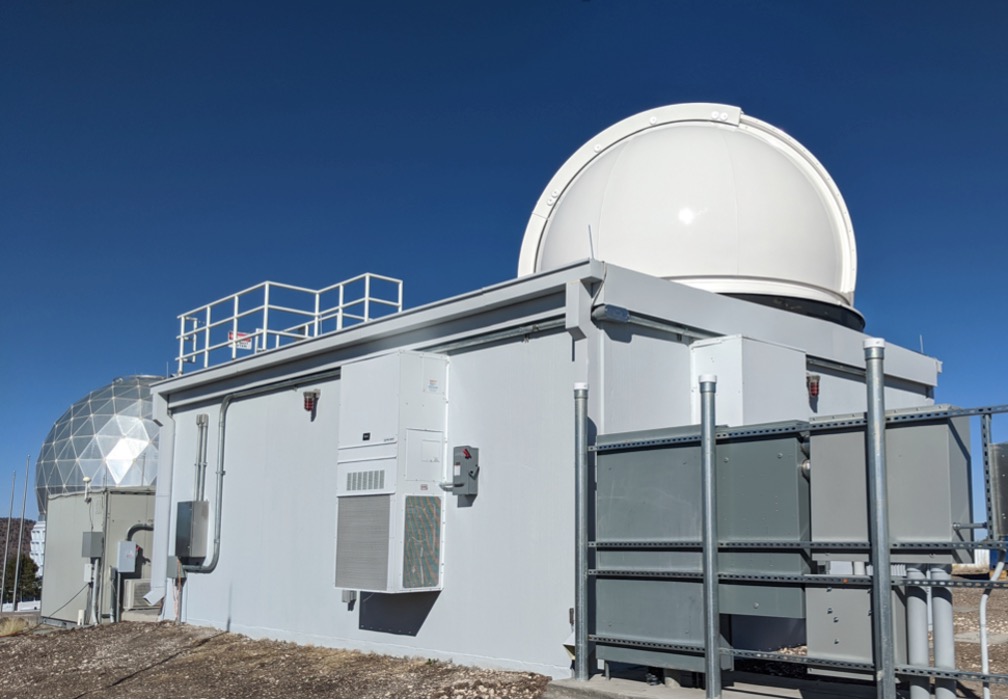
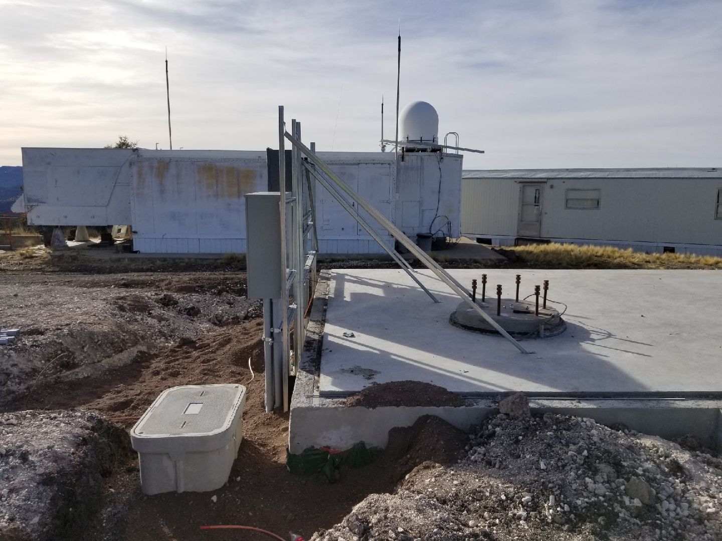
Location: Adjacent to MLRS on Mt. Fowlkes at McDonald Observatory
Foundation completed: Jan 2019
Passed inspection test: Jan 2020
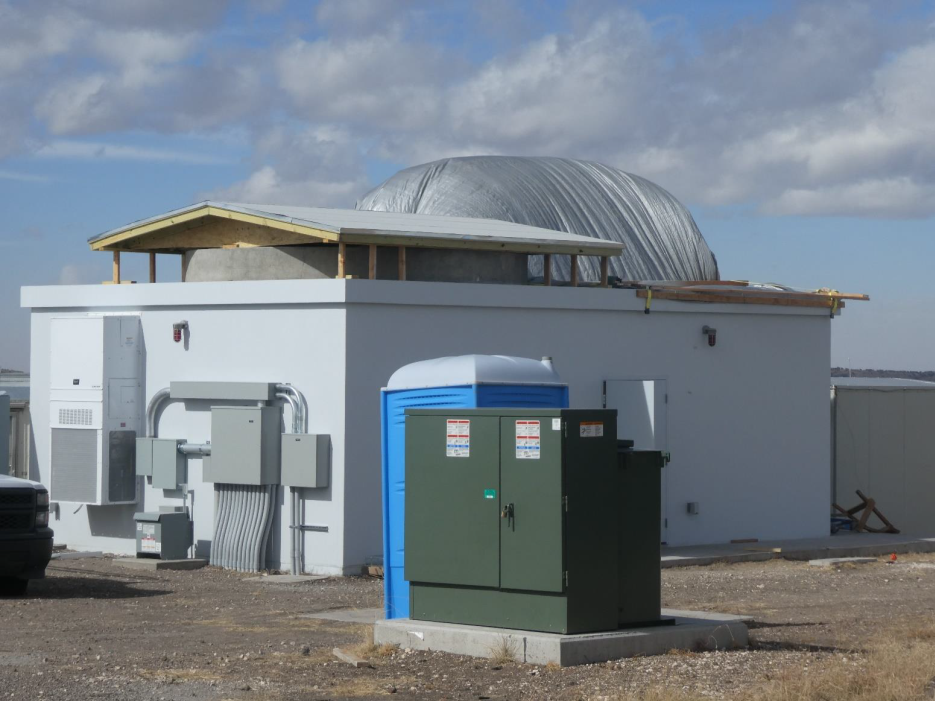
Shelter/Dome installed: Feb 2019
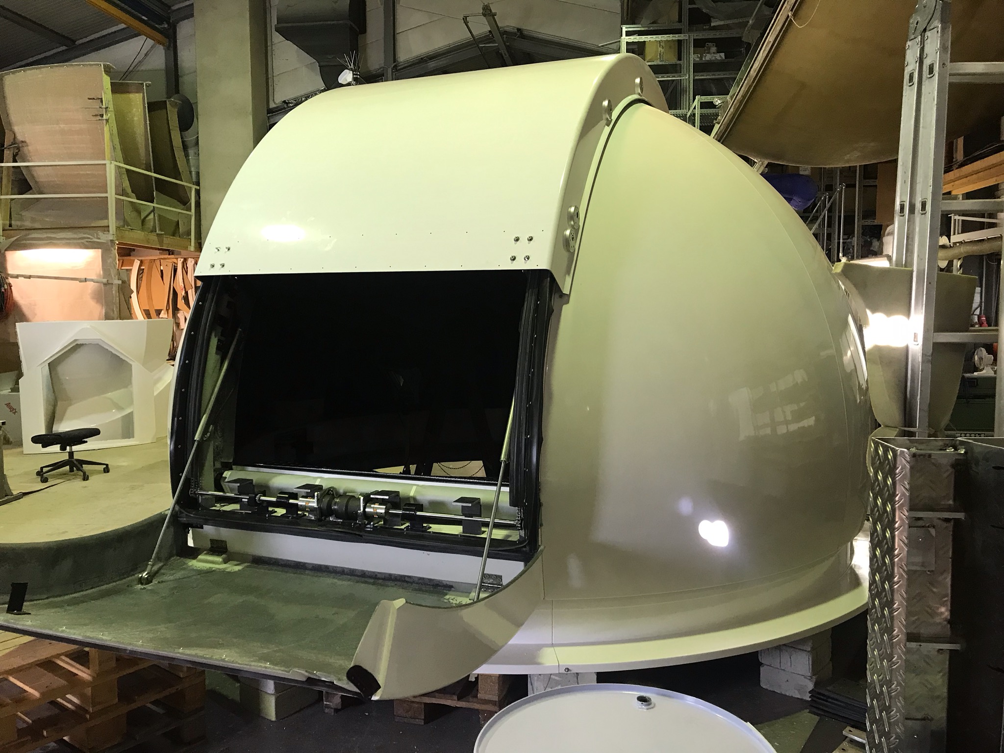
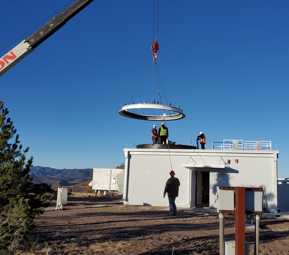
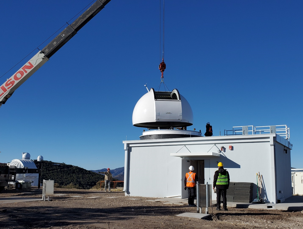
Gimbal/Telescope to be installed: February 2023
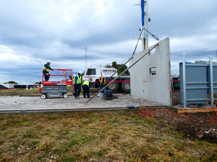
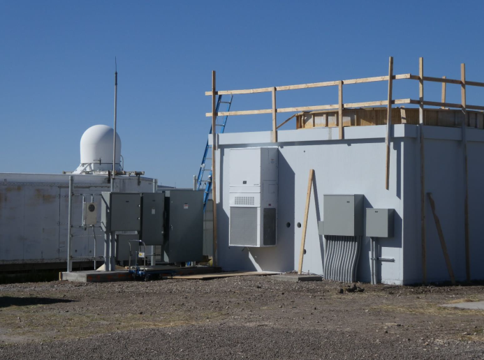
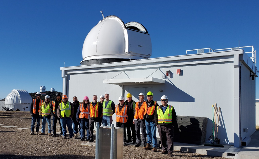
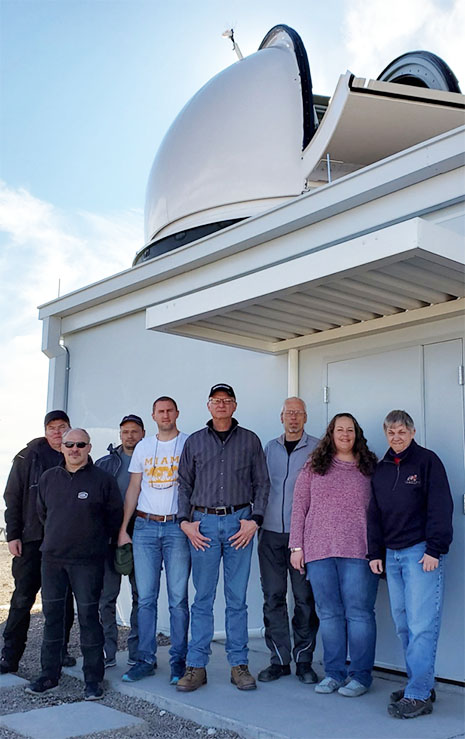
Construction of MGO’s SGSLR Shelter
For additional information:
- History of Lunar and Satellite Laser Ranging at McDonald Observatory
- NASA’s MGO blog
- Overview of Satellite Laser Ranging (SLR)