
MAGIC makes use of its ability to access satellite telemetry and process near real-time remote sensing products to assist the Texas Division of Emergency Management (TDEM). Tasks include preparedness activities, such as emergency planning and disaster exercises, as well as decision support during emergency activations of the State Operations Center (SOC). When a disaster occurs, MAGIC provides information to the SOC and first responder field teams through a series of Modeling, Observation and Visualization for Emergency Support (MOVES) web services that deliver satellite and aerial imagery along with ground sensor measurements and numerical modeling forecasts.
Ongoing Emergency Response Activities
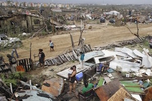 2017 Hurricane Harvey
- 2017 State Hurricane Exercise
Completed Emergency Response Activities
- 2016 – May-June Texas Floods
- 2016 – April Texas Floods and Severe Storms
- 2016 – March Texas Floods
- 2015 – October Texas Floods
- 2015 – May-June Texas Floods and Severe Storms
- 2014 – Pecos River Flood
- 2013 – West Fertilizer Company Explosion
- 2013 – Hurricane Isaac
- 2012 – Dallas/Fort Worth Tornado Outbreak
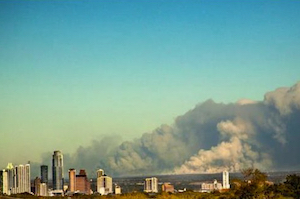
- 2011 – Texas Wildfires
- 2010 – Deepwater Horizon Oil Spill
- 2010 – Hurricane Alex
- 2010 – Haiti Earthquake
- 2008 – Hurricane Ike
- 2008 – Hurricane Dolly
- 2007 – Search for Tenacious
- 2007 – June-July Texas Floods
- 2007 – Hurricane Dean
- 2007 – Hurricane Humberto
- 2005 – Hurricane Rita
- 2005 – Hurricane Katrina
- 2005 – Hurricane Dolly
- 2003 – Hurricane Claudette
- 2003 – Space Shuttle Columbia Recovery