Global Navigation Satellite System (GNSS)
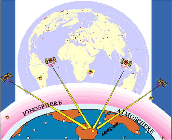
“Global Navigation Satellite System” (GNSS) is used to describe any satellite constellation that provides position, navigation, and timing (PNT) services on a global or regional basis. In the US, the service is the Global Positioning System (GPS). It consists of a space segment, a control segment, and a user segment. The US Air Force is responsible for maintaining and operating its space and control segments. Equivalent systems can be found across the globe including Russia’s GLONASS, Europe’s Galileo, China’s BDS, and Japan’s QZSS. The satellites within each system send and receive a radio-frequency (RF) transmissions, enabling determination of the position of any GNSS receiver.
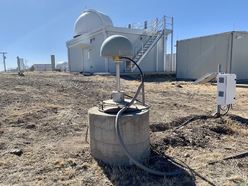
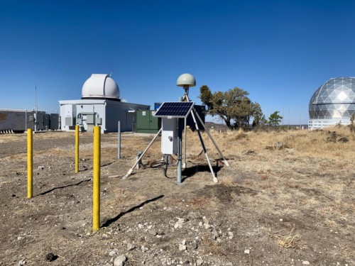
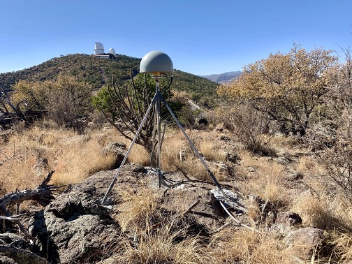
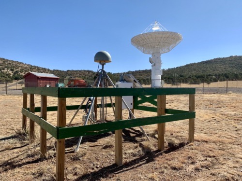
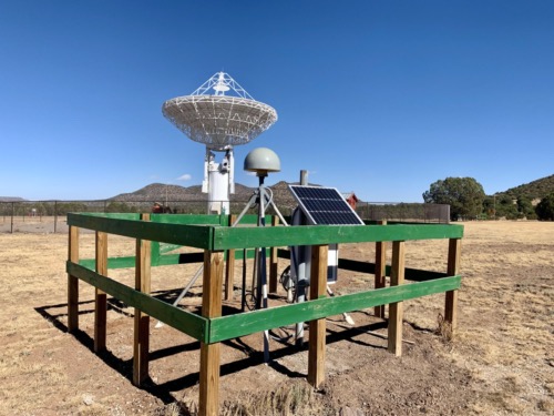
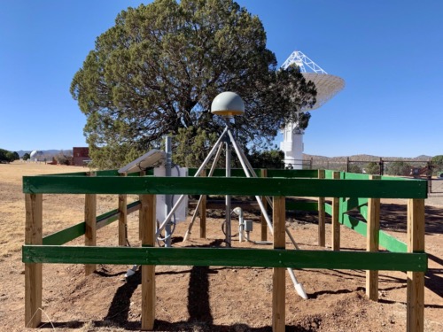
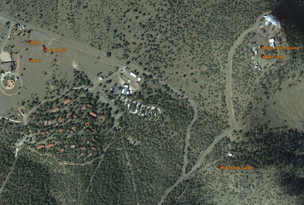
MGO contains precision geodetic antennae that interact with the different GNSS satellite systems to produce accurate PNT data for the MGO site. The antennae are choke ring style, allowing for effective multipath signal reduction. They are also covered in a dome, fabricated with specially formulated plastic (a) to endure UV exposure and (b) to provide a homogenous thickness and density through which a consistent RF signal propagation delay can occur. The deep-drilled braced monuments (DDBM) upon which they typically are installed extend tens of feet below the surface to help measure tectonic earth motion effects to position rather than environmental effects, like moisture or temperature. These antennae can be used to measure long-term positional changes in the sub-mm range.
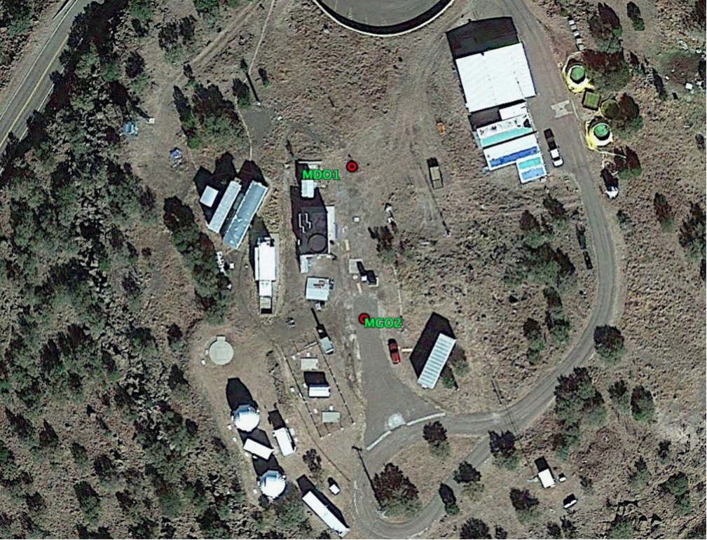
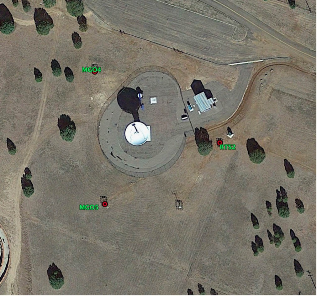
Originally installed in 1993, MDO1 is one of the original NASA global network sites and has an extraordinarily long position time series. MDO1 has been joined with 5 additional GNSS systems, four of which (MGO2-5) are fully operational and sending GPS, GLONASS, Beidou, and Galileo GNSS observables to the NASA CDDIS.