Research
The Center for Space Research is a world-renowned institution melding engineering, space and Earth sciences. For more than four decades, CSR has been at the forefront of geodesy and celestial mechanics, and has provided extraordinary expertise and leadership in orbit determination, remote sensing, and computational methods.
Learn More >

Missions

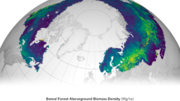
Ice, Cloud and Land Elevation Satellite-2 (ICESat-2)
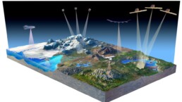
Satellite altimetry systems keep an eye on Earth’s environment from space, monitoring changes in the heights of ice sheets, glaciers, and forest canopies to record the effects of a changing climate.
Learn More >
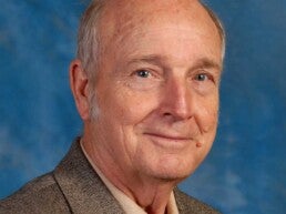
In Memoriam: Professor Byron D. Tapley (1933–2026)
The University of Texas Center for Space Research and an international community mourn the passing of Professor Byron Dean Tapley, who died peacefully at his home in Austin, Texas, on 22 June 2026, at the age of 93, surrounded by his family.
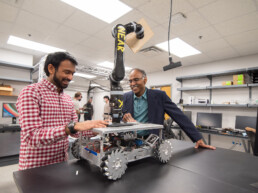
Maruthi Akella Receives 2026 AIAA von Kármán Lectureship Award in Astronautics
Maruthi R. Akella, professor in the Department of Aerospace Engineering and Engineering Mechanics at The University of Texas at Austin, has been named recipient of the 2026 von Kármán Lecture in Astronautics Award from the American Institute of…

Partners in Space
A historic moment in Portugal’s space history has Longhorn finger(hoof)prints all over it. After nearly a decade of planning, the first space infrastructure in Portugal was officially licensed for operation in late 2025. This monumental development…