
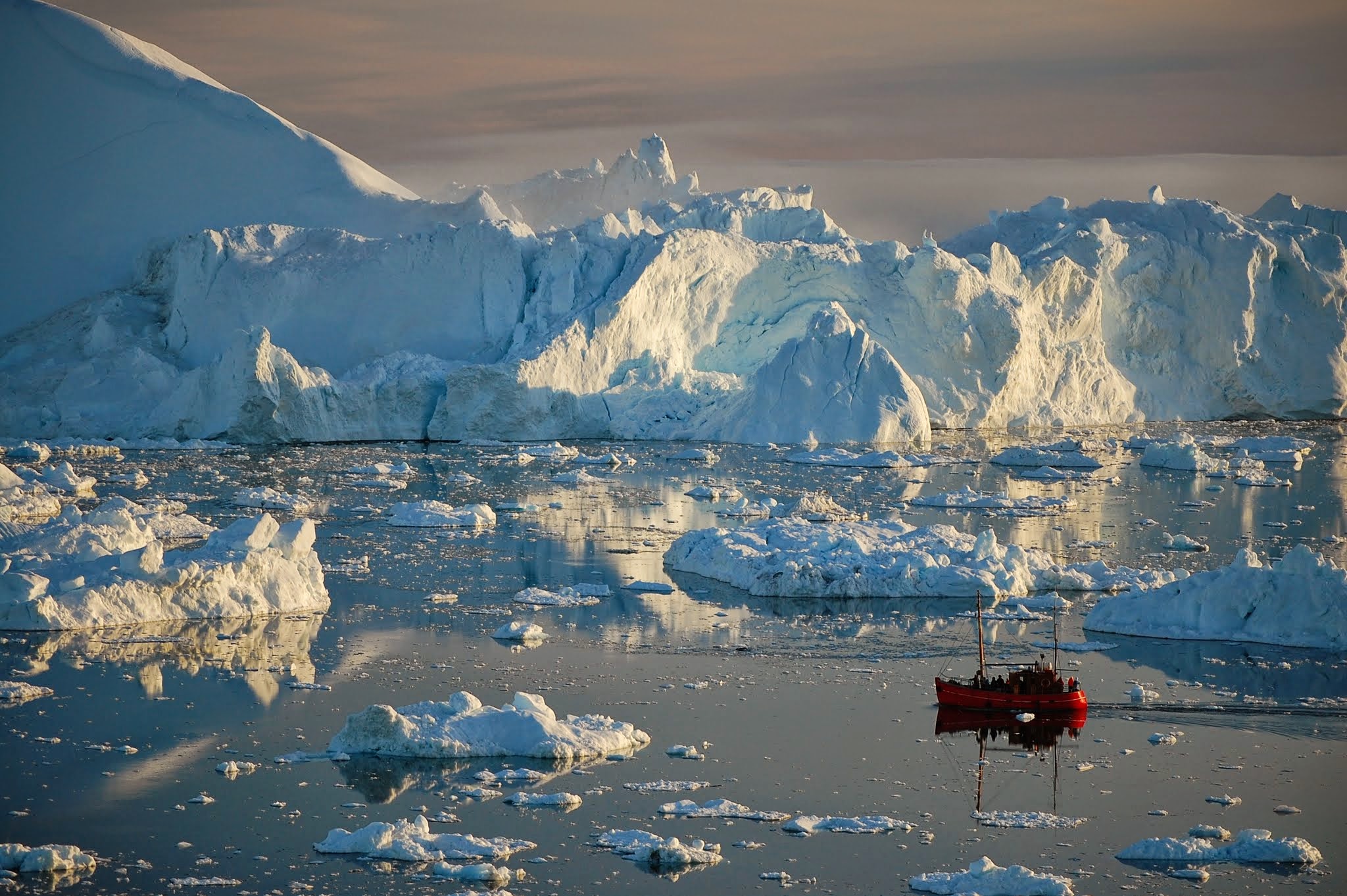
As ice sheets and glaciers continue to lose mass, we expect sea levels to rise by different amounts around the world and even to fall near the ice sheets. Models predicting these patterns form the basis of future sea-level projections. However, the patterns over large spatial scales have never been directly observed, as they were obscured by other shorter timescale processes caused by changing currents and ocean density.
Melting of the Greenland ice sheet is accelerating. Video Credit: Los Alamos National Laboratory
In a paper recently published in Science, led by Sophie Coulson at Los Alamos National Laboratory, these patterns of sea level change have been unambiguously observed near Greenland. “Using sea-surface-height observations from satellites in the way we have independently verifies observations of Arctic and Greenland ice-mass loss and allows us to tease apart contributions to global sea-level rise from individual ice sheets and glacier systems,” said Coulson. The observation of these patterns adds confidence to future projections of sea rise with given a scenario of mass loss from the ice sheets and glaciers.
Press Release Source: https://discover.lanl.gov/news/0929-sea-level-change