3D Geospatial Laboratory

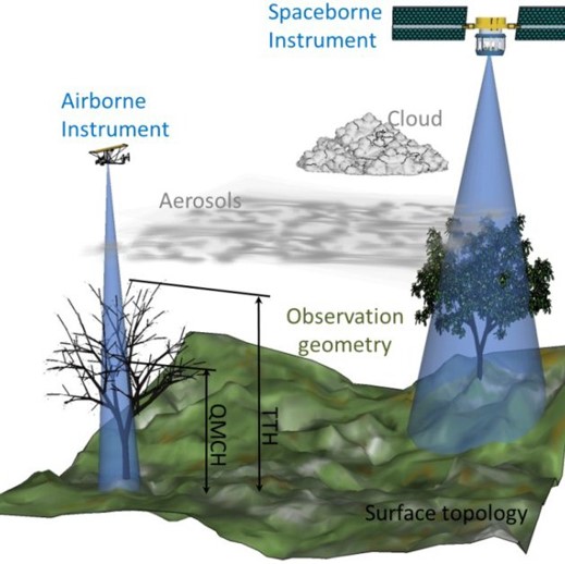
3DGL is pursuing new and innovative research with satellite, airborne and terrestrial 3D data. We approach scientific research with a perspective on instrument engineering, mission implementation and 3D remote sensing systems. We use the observations designed to form new data products, create new data analytics and optimize algorithmic methods for combining multi-sensor information for science applications.
 We use 3D data as the underpinning of Earth exploration and continue to design missions that satisfy our changing environment.