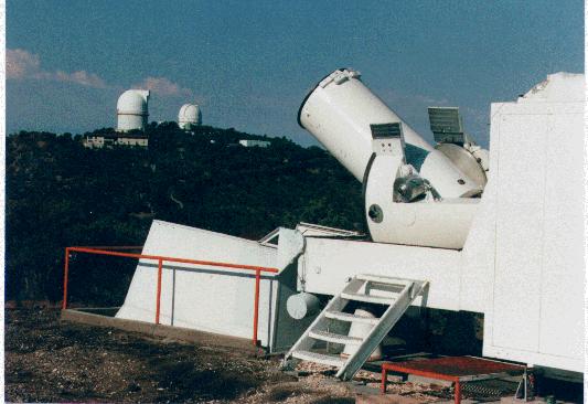
 MLRS History
 Configuration
 Targets
 Bigger view of the site
 Another view of the site
 Ranging the Moon
 "Rainbow Ranging"
 Site Map
Laser Ranging Data
 Laser Data Ranging Format
 Laser Ranging Data (all targets, all stations)
Related Web Sites
 International Laser Ranging Service
 McDonald Observatory and the Department of Astronomy
Acknowledgements
This project is funded by
 NASA Goddard Space Flight Center
 NASA Headquarters

For comments or further information e-mail rlr@astro.as.utexas.edu.
Last updated: 10/05/12.
 NASA Goddard Space Flight Center
 NASA Headquarters

For comments or further information e-mail rlr@astro.as.utexas.edu.
Last updated: 10/05/12.
